|
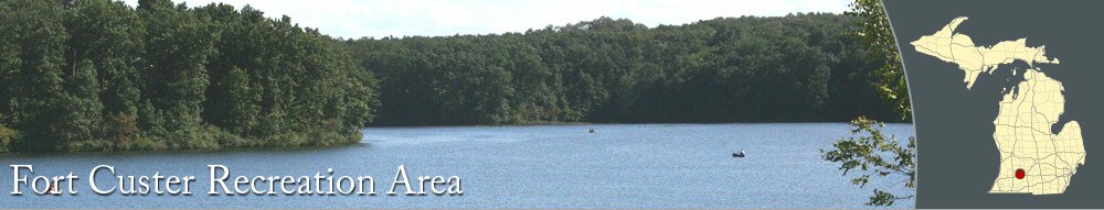
Fort Custer Recreation Area
|
|
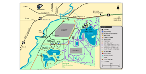
Fort Custer Map
|
|
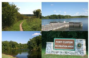
Fort Custer & Other Area Photographs
|
|
Additional Resources, Parks & Trails
|

|
|
Beautiful lakes, rolling hills, and miles of trails can be found at the Fort Custer Recreation Area. Located just east of Augusta, Fort Custer occupies over 3,000 acres formerly used for military training during World War II when the area was known as Camp Custer.
Trails for mountain biking, horseback riding, and hiking wind around the park through wooded areas and open praries. Trails can be accessed from parking areas and Fort Custer campgrounds.
A nice beach is on the north side of Eagle Lake, providing a great place to cool off and play in the water.
Boat launches for recreational boats and kayaks are available.
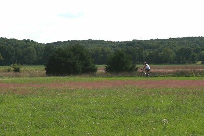
A bike route goes from Fort Custer to Springfield and can be used to reach Battle Creek.
|
|
Photographs
Pictures of Fort Custer, including the trails, lakes, and more.
Fort Custer Recreation Area Map
See where the trails, beach, and other features are located around Fort Custer. Download a map of the Fort Custer Recreation Area.
|
|