
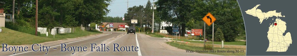
Boyne City and Boyne Falls are connected by M-75, a two-lane road with paved, wide-shoulders. The route is approximately 6 miles. You'll want to use caution when riding along the road since M-75 can be busy at times.
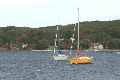
Boyne City also offers trails and bike routes near Lake Charlevoix. Nearby, Young State Park is a popular summer destination with a large sandy beach.
About Boyne City & Boyne Falls
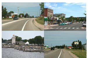
The two cities offer plenty to do. Boyne Falls is home to Boyne Mountain, a four-seasons resort with downhill skiing during the winter and challenging golf courses during the warmer months. Boyne City is a boater's paradise on Lake Charlevoix and features several restaurants and unique shops.Boyne City also offers trails and bike routes near Lake Charlevoix. Nearby, Young State Park is a popular summer destination with a large sandy beach.
Photographs
Pictures of the Boyne City, Boyne Falls, and more.
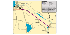
Download a map of the Boyne City - Boyne Falls bike route.

|
|