
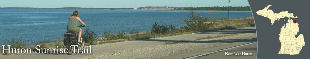
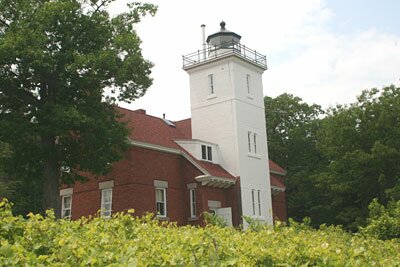
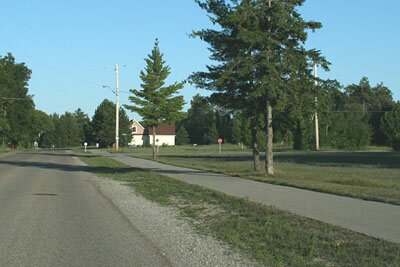
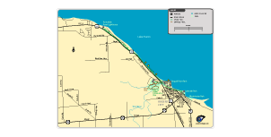
The Huron Sunrise Trail is a paved trail for jogging, walking, and biking that goes through Rogers City and then northwest to 40 Mile Point Lighthouse. The path is 10 feet wide and is over eight miles long. It offers plenty of scenery along Lake Huron.
In Rogers City, the Huron Sunrise Trail connects Lakeside Park, North Shore Park, Seagull Point Park, and Trout River Park, where you can use the parking areas to access the trail.
The trail also connects to the nature trail system at Herman Vogler Conservation Area.
In Rogers City, the Huron Sunrise Trail connects Lakeside Park, North Shore Park, Seagull Point Park, and Trout River Park, where you can use the parking areas to access the trail.
The trail also connects to the nature trail system at Herman Vogler Conservation Area.
Photographs
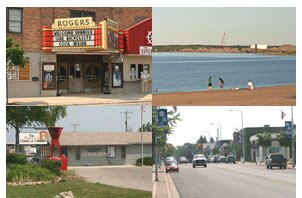
Pictures of the trail and Rogers City.
Download a map of the Huron Sunrise Trail, which goes from 40 Mile Point Lighthouse to Rogers City, Michigan.


|
|