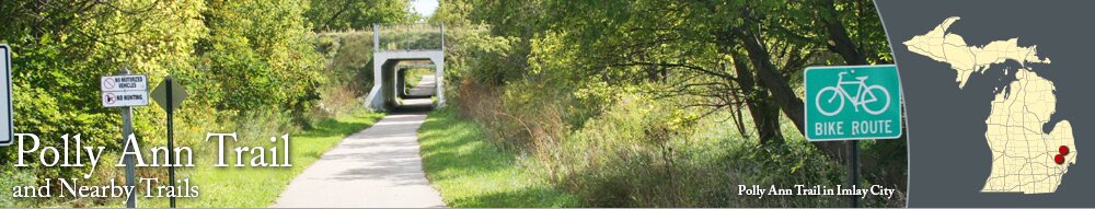
The Polly Ann Trail is a lengthy recreational trail in Oakland County and Lapeer County. The trail can be used for biking, cross-country skiing, hiking, and jogging.
Oakland County Segment
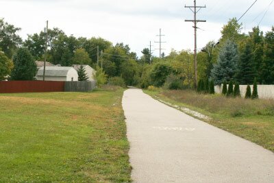
The 14-mile segment in Oakland County is regularly used by cyclists, walkers, and joggers. The wide trail is gravel/dirt from Waldon Road to Drahner Road. From Drahner Road through Oxford, the trail is paved and becomes gravel/dirt on the east side of Oxford. It remains gravel/dirt to Bordman Road, which is the county line.
The southern part of the trail goes through Bald Mountain State Recreation Area. Be aware that the land that is east of the trail is open to hunting.
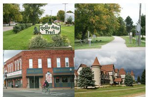
The paved section of the Polly Ann Trail in Oxford goes north of downtown, and the business and restaurants in downtown along Washington Street/M-24 are not too far from the trail.
Lapeer County Segment
The Polly Ann Trail segment in Lapeer County is over 18 miles long. The trail section in Imlay City is paved, but the rest of the trail in Lapeer County is mostly grass/dirt.
The paved section in Imlay City can be used for biking, walking, jogging, and cross-country skiing.
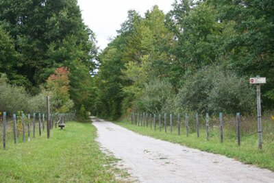
The unpaved segments in Lapeer County are not regularly used, and are best used for hiking and cross-country skiing (when there is snow). The part between Leonard and Dryden is okay for biking, but you'll want to use a mountain bike.
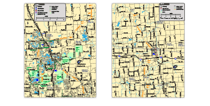
Parking areas for the Polly Ann Trail
- On the north side of Indianwood Road, there is a parking lot near the Polly Ann Trail.
- In Oxford, you can park at Powell Lake Township Park, near the library, and use the park's paved trails to reach the Polly Ann Trail.
- In Leonard, there is a parking lot at Division and Blaza Streets, near the trail. There is a vault toilet at the parking lot.
- In Dryden, the trail passes Dryden Memorial Park on Main Street, and there are parking spaces on Main Street in front of the park.
- In Imlay City, there is parking and benches on the north side of 4th Street, near the trail.
Other Trails in the Area
The Paint Creek Trail goes from Lake Orion to Rochester, and the northern end of the trail is less than two miles from the Polly Ann Trail. Using the sidewalk along Lapeer Road/M-24 and paved paths along Clarkston Road, Pine Tree, Heights Road and Joslyn Road, you can reach the Polly Ann Trail.
There are also paved trails along several roads near the Polly Ann Trail. The paths are regularly used for walking, jogging, and biking. In Orion Township, there are paved paths along Waldon Road, Silver Bell Road, Baldwin Road, Joslyn Road, and Clarkston Road. Near Oxford, there are paved paths along Drahner Road and Lakeville Road. See the
maps page for the paved path locations.