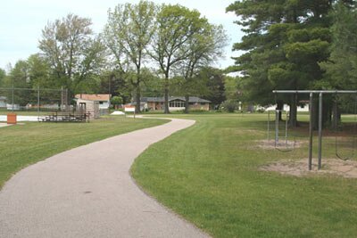
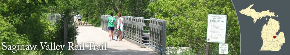
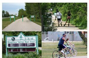
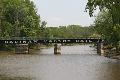
The Saginaw Valley Rail Trail is a multi-use recreational trail that stretches from St. Charles to Stroebel Road, near Saginaw. The paved trail is used for bicycling, walking, jogging, and roller-blading.
An equestrian trail parallels the paved trail from River Road to just south of Wolf Creek. Parking for the equestrian trail is available where the trail meets Swan Creek Road.
The Saginaw Valley Rail Trail has scenic views of the Bad River, Marsh Creek, and Swan Creek. The ride is pretty in the fall when the leaves on the trees along the trail turn color.
The trailhead at
Lumberjack Park in St. Charles is off Water Street. Lumberjack Park has a playground, picnic facilities, restroom, and benches to relax near the Bad River. Trail users can also park at the lot off Swan Creek Road. Both of these trail access sites are open to cyclists, joggers, walkers, and roller-bladers.
The southern portion of the Saginaw Valley Rail Trail starts in St. Charles, and you can find several restaurants, a hardware store, and grocery store.
Near the St. Charles city limits, you can use the trail that goes to
St. Charles Park to get ice cream; just take the paved trail to St. Charles Park and then safely cross M-52 to The Freezer ice cream shop.