
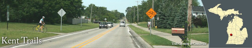
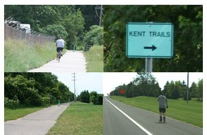
One of the most popular trails in the Grand Rapids area, Kent Trails covers over 15 miles, from Byron Center to Grand Rapids. The paved trail is used for bicycling, jogging, roller-blading, cross-country skiing, and walking.
North of Chicago Drive, Kent Trails meets with the bike route on Indian Mounds Drive. To continue on Kent Trails, you'll go east along Indian Mound Drive to the old railroad bridge that crosses the Grand River. On the north side of the river, you can follow routes to Millennium Park and John Ball Park. You can use the paved trais through Millennium Park, which are accessible on the north side of the Grand River.
South of Butterworth Drive on the east side of Millennium Park, there is a trailhead parking area for Kent Trails and the trails at Millennium Park. There is a picnic shelter and restrooms at the trailhead park.
There are other trails and bike routes that connect to Kent Trails in Grandville and Wyoming, including Grandscapes and the Fred Meijer M-6 Trail.
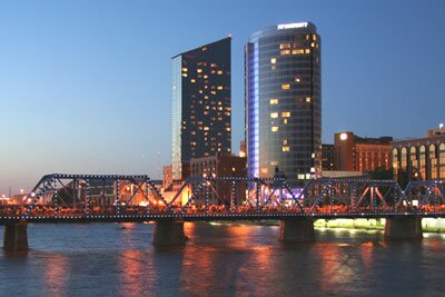
See the Grand Rapids area guide for more to do in Grand Rapids.
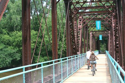
North of Chicago Drive, Kent Trails meets with the bike route on Indian Mounds Drive. To continue on Kent Trails, you'll go east along Indian Mound Drive to the old railroad bridge that crosses the Grand River. On the north side of the river, you can follow routes to Millennium Park and John Ball Park. You can use the paved trais through Millennium Park, which are accessible on the north side of the Grand River.
South of Butterworth Drive on the east side of Millennium Park, there is a trailhead parking area for Kent Trails and the trails at Millennium Park. There is a picnic shelter and restrooms at the trailhead park.
There are other trails and bike routes that connect to Kent Trails in Grandville and Wyoming, including Grandscapes and the Fred Meijer M-6 Trail.
See the Grand Rapids area guide for more to do in Grand Rapids.


|
|